 vesseltracker.com
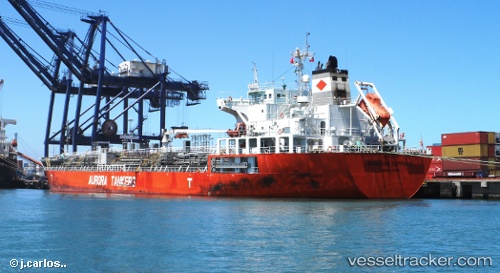
Vessel AAPUS 11 IMO: 9508158, MMSI: 352004122 Oil/Chemical Tanker
UTC, -14.60850, -77.21867, course: 327, speed: 13.4
UTC, -13.99817, -77.56133, course: 330, speed: 13.2
2026-02-25 01:44:48 UTC, -13.73483, -77.70733, course: 330, speed: 13.3
Live AIS position:
UTC. 26 nm S of Pampa Melchorita),
updated 2026-02-25 01:44:48 UTC.
Find the position of the vessel AAPUS 11 on the map. The latter are known coordinates and path.
marine traffic ship tracker show on live map
The current position of vessel AAPUS 11 is -13.73483 lat / -77.70733 lng. Updated: 2026-02-25 01:44:48 UTCCurrently sailing under the flag of Panama
Details:
Last coordinates of the vessel:
UTC, -14.97850, -77.01167, course: 333, speed: 12.8UTC, -14.60850, -77.21867, course: 327, speed: 13.4
UTC, -13.99817, -77.56133, course: 330, speed: 13.2
2026-02-25 01:44:48 UTC, -13.73483, -77.70733, course: 330, speed: 13.3